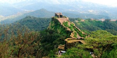
Rajgad Fort , Mahabaleshwar
About Rajgad Fort
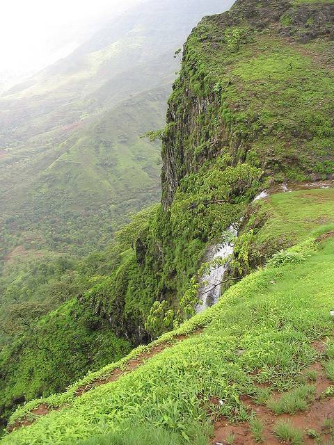
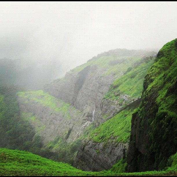
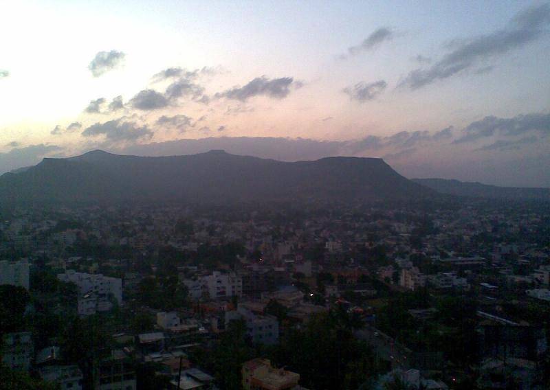
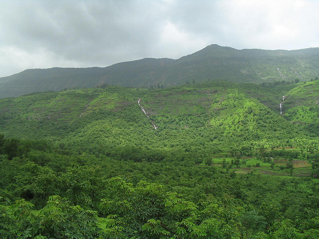
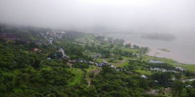
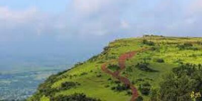
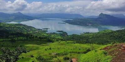
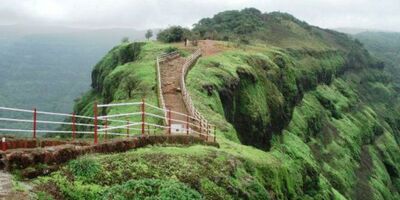
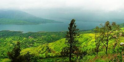
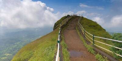
Rajgad Fort, as name indicates is a royal fort which served as capital for Maratha Kingdom for several years. Perched atop of Sahyadri Ranges at an altitude of 1318 meters above sea level, Rajgad Fort has excellent architect strategy. As per historical facts, King Shivaji constructed this fort with the help of treasures found in nearby fort. The mountain on which the fort stands is termed as “Murumbadevi Dongar”. The base of Rajgad Fort extends to 40 km making it a well-protected fort. Rajgad fort still has remnants of palaces, citadels, water reservoirs etc within it. Rajgad Fort played a vital role in Maratha Empire and was silent spectator of many historical events which took place in that time period.
Location & Places to Visit on Rajgad Fort Map
View destinations and attractions nearby Rajgad Fort, on an interactive map.
Freedom to make your own trip!
What you want, when you want and how you want.
Places to Visit near Rajgad Fort

Adventure
Imagicaa Amusement Theme Park, Maharashtra
0 km from Rajgad Fort - See map
Imagicaa, located near Khopoli in Maharashtra, is one of India’s premier entertainment destinations. This theme park, water park, and snow park...
Read more
Adventure
Kolad, Maharashtra
52.2 km from Rajgad Fort - See map
Kolad is a small town, situated on the banks of Kundalika River and about 120 Kms from Mumbai. Thanks to its easy accessibility from Mumbai,...
Read more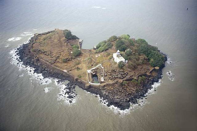
Historical
Khanderi Fort, Maharashtra
*52.8 km from Rajgad Fort - See map
Khanderi Fort and Undheri Forts are both island forts with access to them from the Thai beach, separated by a distance of 300 mtrs. One needs to...
Read more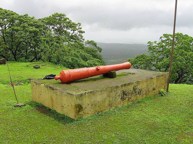
Historical
Mandangad Fort, Maharashtra
72.3 km from Rajgad Fort - See map
Mandangad Fort also is known as the Chitradurga Fort is situated at a distance of 2 KMs from the city of Mandangad. Adil shah ruled the fort...
Read more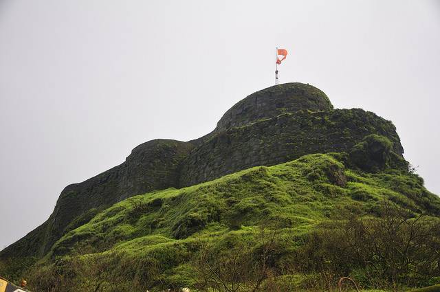
Historical
Pratapgad Fort, Maharashtra
73.4 km from Rajgad Fort - See map
A little off from Mahabaleshwar stands this magnificent fort - Pratapgad Fort, a reminiscent of the valiant Marathas and their golden reign. The...
Read more
Nature
Lodwick Point, Maharashtra
87.3 km from Rajgad Fort - See map
Lodwick Point was previously known as Sidney Point and is clustered between two deep ravines, giving a much tapered view of valley. But it is said...
Read more
Nature
Wilson Point, Maharashtra
88.3 km from Rajgad Fort - See map
Also called as Sunrise point, this is the highest and nearest point from city center at 1435m height. In this flat and expansive rocky surface...
Read more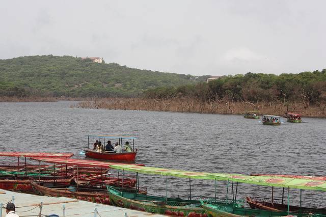
Nature
Venna Lake, Maharashtra
88.6 km from Rajgad Fort - See map
Venna Lake is located in the popular hill station Mahabaleshwar and is always teeming with tourists, particularly during holidays. The lake is...
Read more
Nature
Connaught Peak, Mahabaleshwar, Maharashtra
90 km from Rajgad Fort - See map
Connaught Peak, the second highest peak in Mahabaleshwar reserves some impressive vistas in its holds. The sunrise and sunset view is popular in...
Read more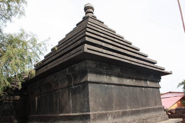
Mahabaleshwar Temple, Maharashtra
91.5 km from Rajgad Fort - See map
The main temple in Old Mahabaleshwar, located right next to the Panchganga Mandir is this beautiful temple for Lord Shiva after whom the city is...
Read more
Nature
Lingamala Waterfalls, Maharashtra
92 km from Rajgad Fort - See map
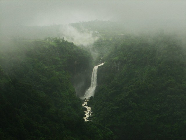
Lingamala Falls is about 6 kilometers away from Mahabhaleshwar, close to Panchgani. The cascade plummets from a height of 600 feet and its stream...
Read more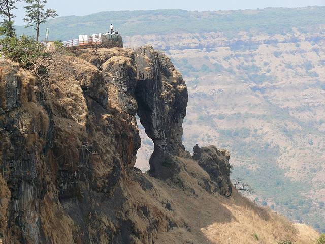
Nature
Kate’s Point, Maharashtra
93 km from Rajgad Fort - See map
At 1290m height, this is one of the greatest viewpoints in Mahabaleshwar which one should not miss. En route to Venna lake, in the duchess road...
Read more


