Mahabaleshwar Temple , Mahabaleshwar
Hillstation, Backwaters, Historical, Scenic, City
Marathi, Hindi and English
1332m
About Mahabaleshwar Temple
The main temple in Old Mahabaleshwar, located right next to the Panchganga Mandir is this beautiful temple for Lord Shiva after whom the city is named. The prime deity – the Mahalinga of Lord Shiva, which is believed to be a Swayambu (self-bodied), is in the shape of a Rudraksh.
It is said to consist the combined divine and ethereal qualities of the tri murtis – Brahma, Vishnu and Shiva and thus is also known as the ‘Trigunatmaka Lingam’. The Mahalinga is cooled down by the holy water from the five rivers (panchganga). This Mahalinga in this temple is reverred to be one of the important Jyothirlingas in the country.
Location & Places to Visit on Mahabaleshwar Temple Map
View destinations and attractions nearby Mahabaleshwar Temple, on an interactive map.
Freedom to make your own trip!
What you want, when you want and how you want.
Places to Visit near Mahabaleshwar Temple

Adventure
Imagicaa Amusement Theme Park, Maharashtra
0 km from Mahabaleshwar Temple - See map
Imagicaa, located near Khopoli in Maharashtra, is one of India’s premier entertainment destinations. This theme park, water park, and snow park...
Read more
Nature
Connaught Peak, Mahabaleshwar, Maharashtra
2.9 km from Mahabaleshwar Temple - See map
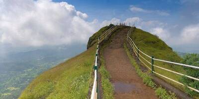
Connaught Peak, the second highest peak in Mahabaleshwar reserves some impressive vistas in its holds. The sunrise and sunset view is popular in...
Read more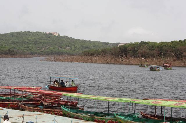
Nature
Venna Lake, Maharashtra
4.9 km from Mahabaleshwar Temple - See map
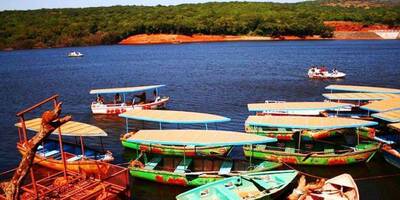
Venna Lake is located in the popular hill station Mahabaleshwar and is always teeming with tourists, particularly during holidays. The lake is...
Read more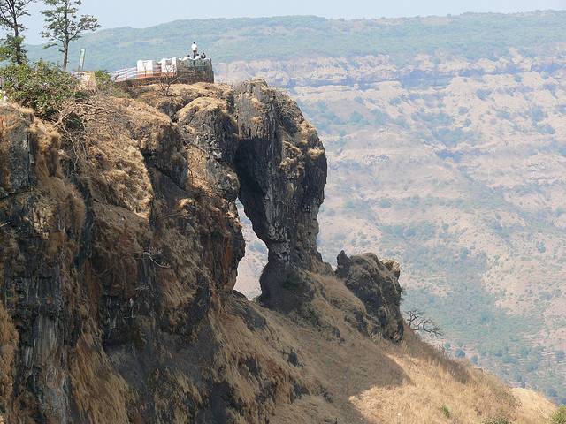
Nature
Kate’s Point, Maharashtra
6.3 km from Mahabaleshwar Temple - See map
At 1290m height, this is one of the greatest viewpoints in Mahabaleshwar which one should not miss. En route to Venna lake, in the duchess road...
Read more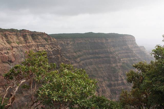
Nature
Arthur’s Seat, Maharashtra
7.1 km from Mahabaleshwar Temple - See map
The queen of all points, this is even compared with the Grand canyon of USA by some people, as the layering of rocks here has the slight...
Read more
Nature
Lingamala Waterfalls, Maharashtra
7.3 km from Mahabaleshwar Temple - See map
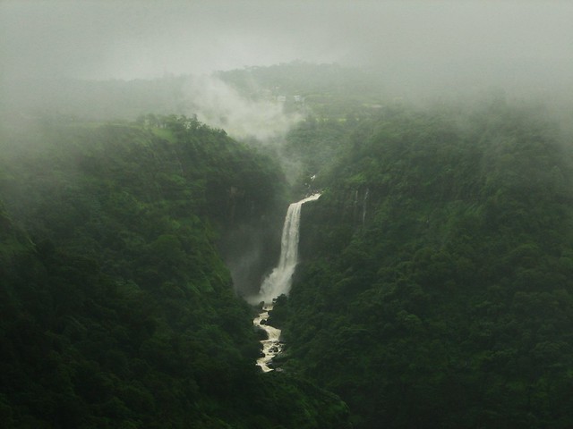
Lingamala Falls is about 6 kilometers away from Mahabhaleshwar, close to Panchgani. The cascade plummets from a height of 600 feet and its stream...
Read more
Nature
Lodwick Point, Maharashtra
7.6 km from Mahabaleshwar Temple - See map
Lodwick Point was previously known as Sidney Point and is clustered between two deep ravines, giving a much tapered view of valley. But it is said...
Read more
Nature
Wilson Point, Maharashtra
7.7 km from Mahabaleshwar Temple - See map
Also called as Sunrise point, this is the highest and nearest point from city center at 1435m height. In this flat and expansive rocky surface...
Read more
Nature
Mapro Gardens, Maharashtra
10.5 km from Mahabaleshwar Temple - See map
Panchgani and Mapro gardens play host to the ‘annual strawberry festival’ which is held in the month of March/April. 85% of the strawberries...
Read more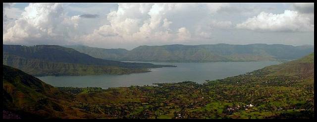
Nature
Parsi Point, Maharashtra
16 km from Mahabaleshwar Temple - See map
Parsi Point is close to Sydney point. Parsi Point resides high above the Krishna river valley below. From here it is possible to view Krishna...
Read more
Devil's Kitchen, Maharashtra
18.2 km from Mahabaleshwar Temple - See map
Devil's Kitchen is located on the Table Land plateau behind the main town of Panchgani. Said to have been the preparation spot for the Pandavas...
Read more
Nature
Table Land, Maharashtra
18.5 km from Mahabaleshwar Temple - See map
Table Land is a wide expanse of flat, volcanic rock covering 99 acres of land just on the outskirts of Panchgani. It is Asia’s second largest...
Read more


